![]()
![]()
![]()
![]()
|
|
|
|
|
Some VSys Live tools can display their results in Google Maps format.
When in Google Maps mode, each tool has its own settings that affect the created map, and each tool can display itself differently from other tools.
Maximum width (in px) |
If set to anything other than 0, the map won't exceed that width. |
Height (in px) |
Fixes the height of the map if anything other than 0. |
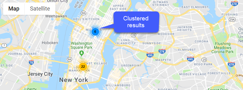
Enable marker clustering |
When multiple items are at the same or in very close proximity, it can be impossible to see the individual items. Check this to display them in cluster (see example below); if clustered, they'll break out and display individually as you zoom in. |
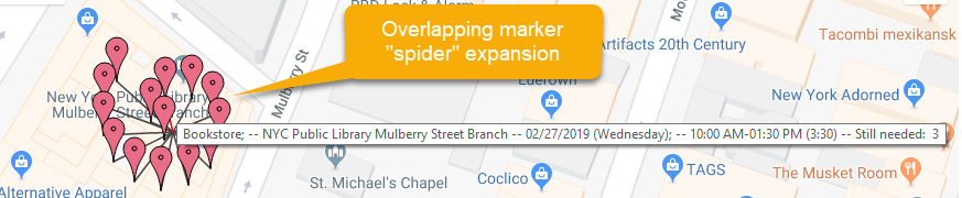
Enable overlapping marker "spider" expansion |
If multiple events are at exactly the same location (see third example), clustering doesn't help. Checking this shows them all under one marker, then clicking on that marker expands them out. |
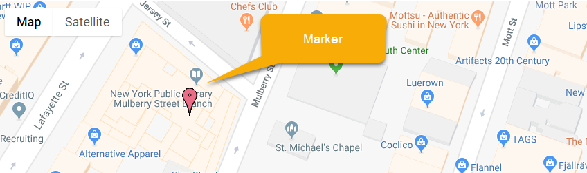
Marker color |
Sets the color of a basic marker. |
This requires using a Google Maps API key.